News Archive
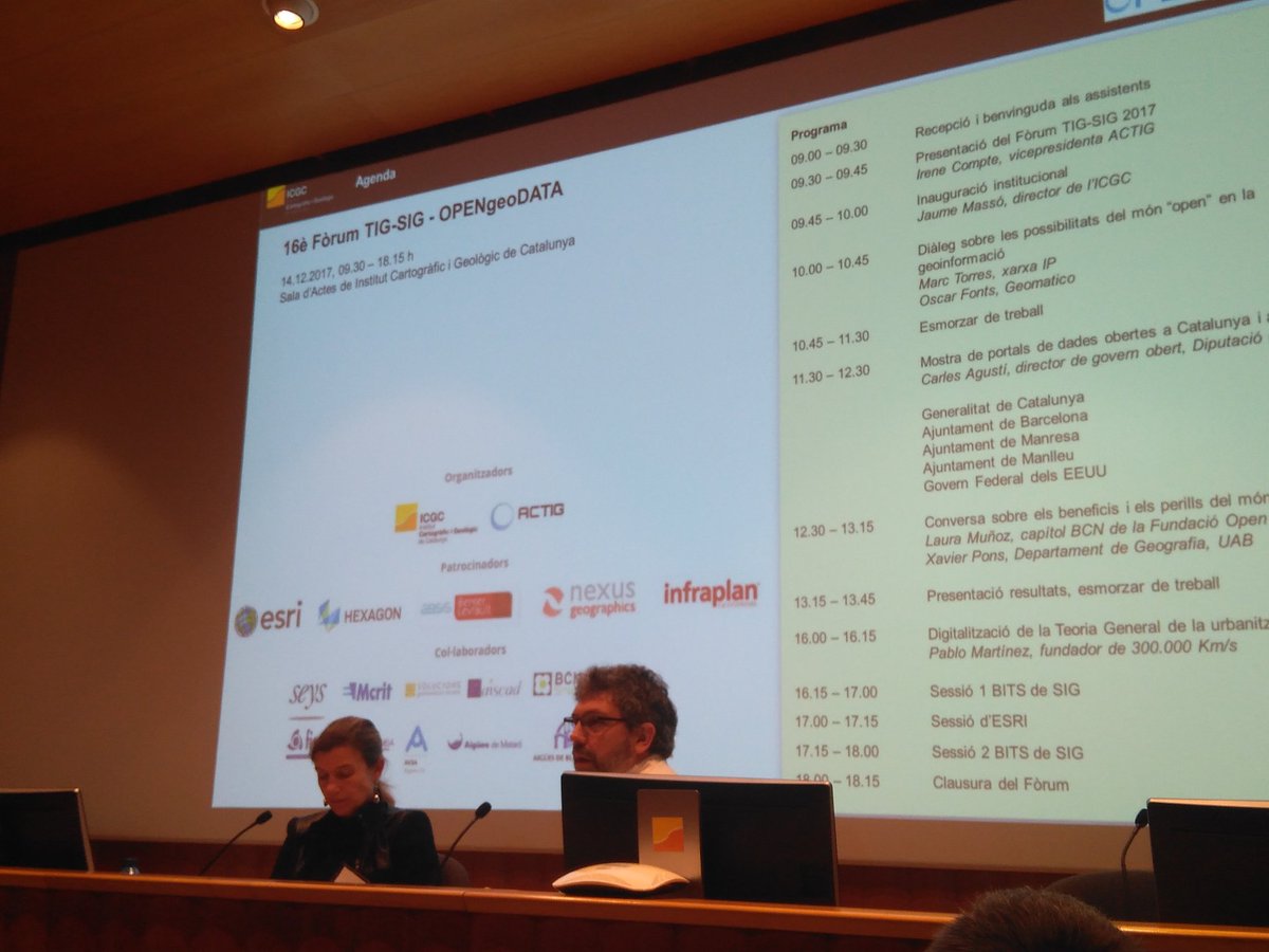
- Presence of Grumets at the 16th TIG-SIG Forum
-
On December 14, the 16th TIG-SIG Forum, organized annually by the Catalan Association of Geographic Information Technology, took place in Barcelona this year with the motto OpenGeoData. Xavier Pons (UAB) participated in the Forum in a talk about the benefits and dangers of the "Open" world, together with Ms. Lourdes Muñoz, of the BCN chapter of the Open Data foundation. The forum allows the meeting with actors in Catalonia from consolidated or emerging companies, large and small administrations and research institutions dedicated to geographic information.
16-12-2017
- Published new edition of the journal GeoFocus
-
A new edition of the journal GeoFocus, edited by Grumets, is now available. It is the 20th edition, and you can read it in the following link:
https://www.geofocus.org/index.php/geofocus/issue/view/23
We hope it is of your interest!

31-12-2017
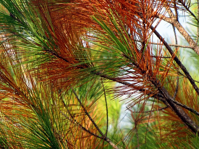
- New paper from Grumets in the journal Forest Ecology and Management
-
The indexed journal Forest Ecology and Management has just released a paper on forest dynamics written by Grumets. The work, Factors affecting forest dynamics in the Iberian Peninsula from 1987 to 2012. The role of topography and drought, is authored by Juan José Vidal-Macua, Miquel Ninyerola, Alaitz Zabala, Cristina Domingo-Marimon and Xavier Pons, and analyzes the role of structural factors and the influence of the occurrence of periodic events in the evolution of forest ecosystems in broad areas around the Mediterranean fringe of the Iberian Peninsula. The study provides robust evidence that drought occurrence plays an important role in the decline of conifers and the expansion of broadleaves, which could become the dominant species in many areas of the Mediterranean if climate model forecasts are met.
The paper is available in open access: http://www.sciencedirect.com/science/article/pii/S037811271730960X
18-10-2017
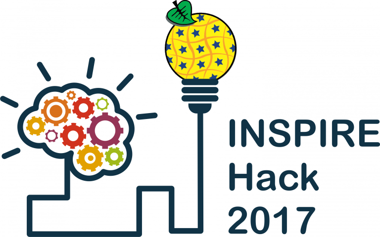
- Second prize for Grumets in an INSPIRE Hackaton
-
The Grumets Joan Masó (CREAF) and Alaitz Zabala (UAB) won on September 5 in Kehl (Germany), as part of the annual conference INSPIRE Conference 2017, the second place in the Hackaton “INSPIRE Hack 2017”, with a project aimed at improving the INSPIRE data through the collaboration of users, by the generation of evaluations. The project competed with 10 other international projects, all of them aimed at incorporating new types of data or new technologies into INSPIRE.
18-10-2017
- Presence of Grumets at next Geo Week 2017 in Washington
-
Grumets Joan Masó and Ivette Serral (CREAF) are going to be next week in Washington DC to attend the XIV GEO Plenary and the side events and exhibitions organized. The known Geo Week 2017 will take place from October 23rd to 27th and Grumets will have a relevant presence there. Here are the activities where you can find them.

18-10-2017
- MiraMon free for the educational sector
-
The GIS and remote sensing software MiraMon, developed by Grumets, is now free for the Spanish and international educational community. After 23 years of constant evolution and improvements, MiraMon wants to take a step forward and become an international leader. To achieve this, the team and its creator, Xavier Pons, have decided that MiraMon is free since this September 2017 for the educational community around the world: educational centers, related entities and students..
This step places MiraMon among the pioneers of free-use remote-sensing software and adds the tool to the list of Geographic Information Systems (GIS) that opt for free use.
MiraMon has traditionally been widely used in various instances of the Catalan Administration and of other Spanish and worlwide regions, as well as in multiple Universities, research centers, high schools and in outstanding masters and postgraduates of GIS and Remote Sensing. With the aim of continuing to promote its use in the educational segment, MiraMon is now free for students and educational centers, or entities affiliated with educational centers, from all over the world. This measure represents an important step in the will of MiraMon to become a widely used GIS in teaching and in training and educational activities at all levels and represents a distinctive element in the world of remote sensing software.
"We have made this commitment with the intention of extending its number of users, not only in Spain, but throughout Europe and the world”, comments Xavier Pons, Professor of Geography at the Universitat Autònoma de Barcelona (UAB) and CREAF researcher, creator of MiraMon.
"With this decision our pioneering remote sensing softwares position from a full GIS integration continues through gratuity and we add to other GIS that already offer their programs at no cost”, concludes.
-
29-09-2017
- Autumn of congresses for Grumets
-
This fall is full of congresses for Grumets. From the presence in the Geospatial Sensor Webs 2017 in late August to the AGE Congress at the end of October, several Grumets will present this autumn the latest work of the group in national and international events of relevance. Below you can see the details to know where to find us next months:
- Geospatial Sensor Webs GSW 2017 - 28-30 August - Muenster (Germany)
- Joan Masó - Sensor web as a vehicle to connect Citizens Observatories to GEOSS. The Ground Truth 2.0 case
- SPIE Remote Sensing - 11-14 September - Warsaw (Poland)
- Cristina Domingo, Lluís Pesquer, Xavier Pons - On the interest of the spectral bands in automatic selection of high quality MODIS data through spatial pattern identification
- 5th International Symposium on Recent Advances in Quantitative Remote Sensing RAQRS'V - 18-22 September - Torrent (Spain)
- Maria Mira, Miquel Ninyerola, Meritxell Batalla, Lluís Pesquer, Xavier Pons - Improving GIS-based monthly air temperature maps with satellite-derived land surface temperature
- Maria Mira - On the measurement of TIR emissivity spectra using a field portable FTIR spectrometer: comparison of methods and improvements
- Maria Mira - Monitoring evapotranspiration from remote sensing data for groundwater resources evaluation
- XVII Congreso de la Asociación Española de Teledetección AET2017 - 3-7 October - Murcia (Spain)
- Maria Mira, Miquel Ninyerola, Meritxell Batalla, Lluís Pesquer, Xavier Pons - Incorporación de la temperatura de la superficie terrestre obtenida desde satélite para la mejora de modelos predictivos de temperatura del aire
- Joan-Cristian Padró, Xavier Pons, Ricardo Díaz-Delgado, Lluís Pesquer, Cristina Domingo, Òscar González-Guerrero - Uso de áreas pseudoinvariantes (PIA) para la corrección radiométrica, automática y coherente, de captaciones simultáneas Landsat-8 y Sentinel-2A
- Ricardo Diaz-Delgado - Discriminación espectral de macrófitos acuáticos característicos de la marisma de Doñana bajo diferentes condiciones mediante técnicas de machine learning.
- XXV Congreso de la AGE - 25-27 October - Madrid (Spain)
- Juanjo Vidal - Análisis de los factores que contribuyen a la transición de cubiertas arbustivas a forestales en el NE de la Península Ibérica (periodo 1987-2012).
-
05-09-2017
- Participation of Grumets in the OGC Technical and Planning Committee in Delft
-
During the week of March 20 to 24 a new meeting of the OGC Technical and Planning Committee de l'Open Geospatial Consortium (OGC) is taking place in Delft (Netherlands). As in past editions, Joan Masó has an active participation in this meeting, in which he also acts as representative of other Grumets. You can find him as co-chair or as participant in the working groups on Architecture DWG, Citizen Science DWG, Electromagnetic Spectrum DWG, Web Map Service SWG, OWSCommon SWG, OWSContext SWG, Hydro DWG and DataQuality DWG.
In addition, during this week the approval as a Public Engineering Report of the following documents with participation of Grumets will be discussed:
- A077 OGC 16-049r1 Multi-Tile Retrieval ER (Approved at WMS.SWG)
- DG003 OGC 16-050 Imagery Quality and Accuracy ER (Presented by Alaitz Zabala and approved at DataQuality DWG)
- A005-2 OGC 16-051 JavaScript, JSON, JSON-LD ER (Approved at Architecture DWG)
- A062 OGC 16-122 (Geo)JSON User Guide (Presented at Architecture DWG)
- A073 OGC 16-052 OWS Context Capabilities ER (Approved at OWS Context.SWG)
- A086 OGC 16-053r1 OWS Context JSON, JSON-LD and HTML5 ER (Approved at OWS Context SWG)
You can find more information in the meeting webpage or follow the event through Twitter.
-
22-03-2017
- Grumets presented the second version of the Digital Climatic Atlas of Andorra (ACDA)
-
Last January 17th the members of Grumets Miquel Ninyerola and Meritxell Batalla presented in Andorra the second version of the Digital Climatic Atlas of Andorra (ACDA), related to the new reference period 1981-2010 and created jointly with the Centre for the Study of Snow and Mountain of Andorra (CENMA).
The presentation included an informative talk with two different parts. One about the methodology and characteristics of the new ACDA, and a second one about the interesting derived uses and applications, since the Government of Andorra uses the ACDA data as official data.
For more information you can consult the press release prepared for the event (catalan).
-
26-01-2017